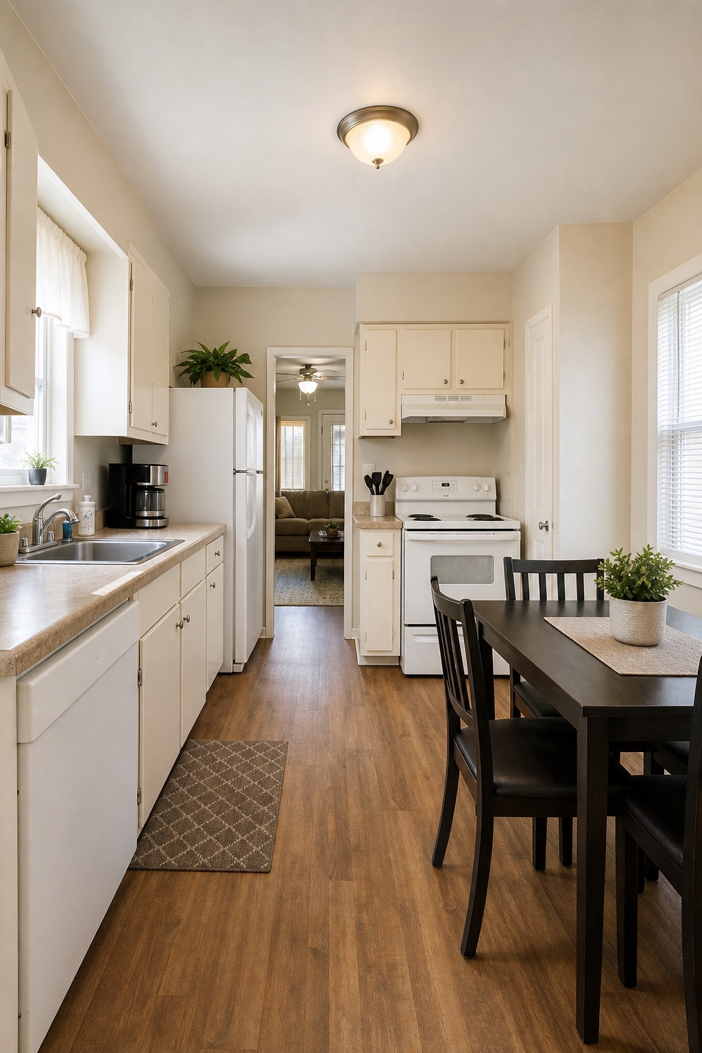
Show location context
Aerial media can show access roads, water proximity, lot shape, nearby amenities, and the relationship between the property and the surrounding area.
Avoid filler passes
A slow reveal is useful when it reveals something meaningful. Repeated high-altitude sweeps can look nice but may not help a buyer make a decision.
- Front approach and roofline context
- Lot boundaries and outdoor space
- Nearby amenities or natural features
- Short vertical clips for social promotion
Aerial media should answer questions ground-level photos cannot.
Gear links for this workflow.
These product links are managed from the BRV product JSON catalog so exact B&H Photo and Amazon URLs can be updated without touching the article template.
DJI Mini 4 Pro Drone with RC 2 Controller
Portable drone option for aerial establishing shots, property context, and travel-friendly location coverage.
Useful when a project needs aerial context without turning the shoot into a large drone production.Samsung 2TB T7 Shield Portable SSD
Rugged portable SSD for field backups, client transfers, and post-production organization.
Portable SSDs keep project files organized from capture through edit, delivery, and archive.Related Services
Relevant FAQ Pages
Real Estate Listing Media Checklist for Better First Impressions
A listing-day checklist for interiors, exteriors, lifestyle details, and media assets that help buyers understand the property quickly.

South Florida Location Planning for Photo and Video Shoots
How to choose a location around light, weather, parking, permits, sound, privacy, and the story your project needs to tell.

What to Put in a Commercial Video Brief Before Filming
The decisions every business should make before booking a commercial, campaign film, or branded social video.
Article FAQ
Does every listing need drone coverage?
No. Drone coverage is most useful when the property, lot, exterior, view, or neighborhood context adds meaningful value.
Can drone shots be used in reels?
Yes. Aerial clips can be planned for both listing videos and vertical social edits.
Ready to turn the plan into production?
Send the date, service type, location, and deliverables you need. BigRichVisuals will help shape the next step.